top of page


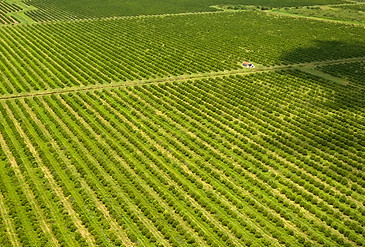
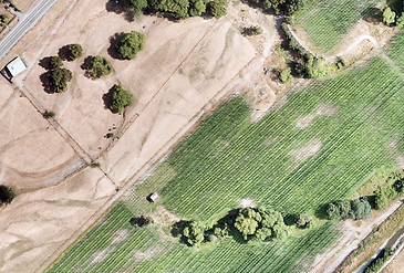
Imagery & Plant Health
What is Multispectral Imagery
Multispectral drone imagery is a very useful tool. By capturing images in a variety of light wavelengths, our drone sensors can detect and record information beyond what the human eye can see.
By combining and analyzing hundreds, or even thousands of images, a more detailed and informative view of the surveyed area is obtained.


Grow Your Vision
Welcome visitors to your site with a short, engaging introduction.
Double click to edit and add your own text.
_JPG.jpg)

.jpeg)


bottom of page